We have previously announced that the Map Editor will be available with Early Access. As one of the co-creators of the Map Editor, today I would like to talk about the why and how behind this new feature.
Author: Remco van de Ven, Technical Artist
Including work by: Joey Faulkner, Senior Machine Learning Research Engineer
But Why?
The “Map Editor“ feature is a new addition to Prologue: Go Wayback! that enables players to hand-author schematic image files used in the world generation. Simply put, we created a new window in the game where players can draw an image that guides how our machine learning terrains are formed.
At PLAYERUNKNOWN Productions, one of our main goals is to encourage this kind of player creativity. While in Go Wayback! this can be found in the different ways to survive the elements, here we went for a more visual approach.

In the last months coming up to the community release of Prologue: Go Wayback! we wanted to find a way to use the systems we already had available in the game more effectively.
After some consideration, we felt that adding a map editor could be an interesting way to combine these two things while not being a huge undertaking to pick up before release (since implementing a new feature has to go through several departments and iteration cycles before being included in the final game.)
When discussing the potential addition of a map customizer tool, we were concerned that it might not align with the overall vision of the game and that we would move away from the target audience we had spent much of our time tailoring to. Brendan’s vision for Go Wayback! has always been for the hardcore survival game enjoyer, and one of the core pillars of the project has been that the world is not made for the player, and they have to deal with this by surviving in it.
Two Split
However, in the end, we felt it would be an interesting addition for the community version (which was the first to release and served as a good test bed for the feature) and a good counterweight to the heavy and darker theme of Prologue. With this, we would also be able to reach our goal of showcasing the current systems at their strengths (with the main focus on the population and world generation systems.)
We went on to work on a prototype, which would function as a horizontal slice of what the feature should entail. This MVP would be a great way to enable testing in the studio and would later form the foundation of the tool we have today.
After multiple iteration rounds and positive reviews from team members, we went on to implement the feature for the community version, and we are now looking into expanding and improving what we’ve built so far.

But How?
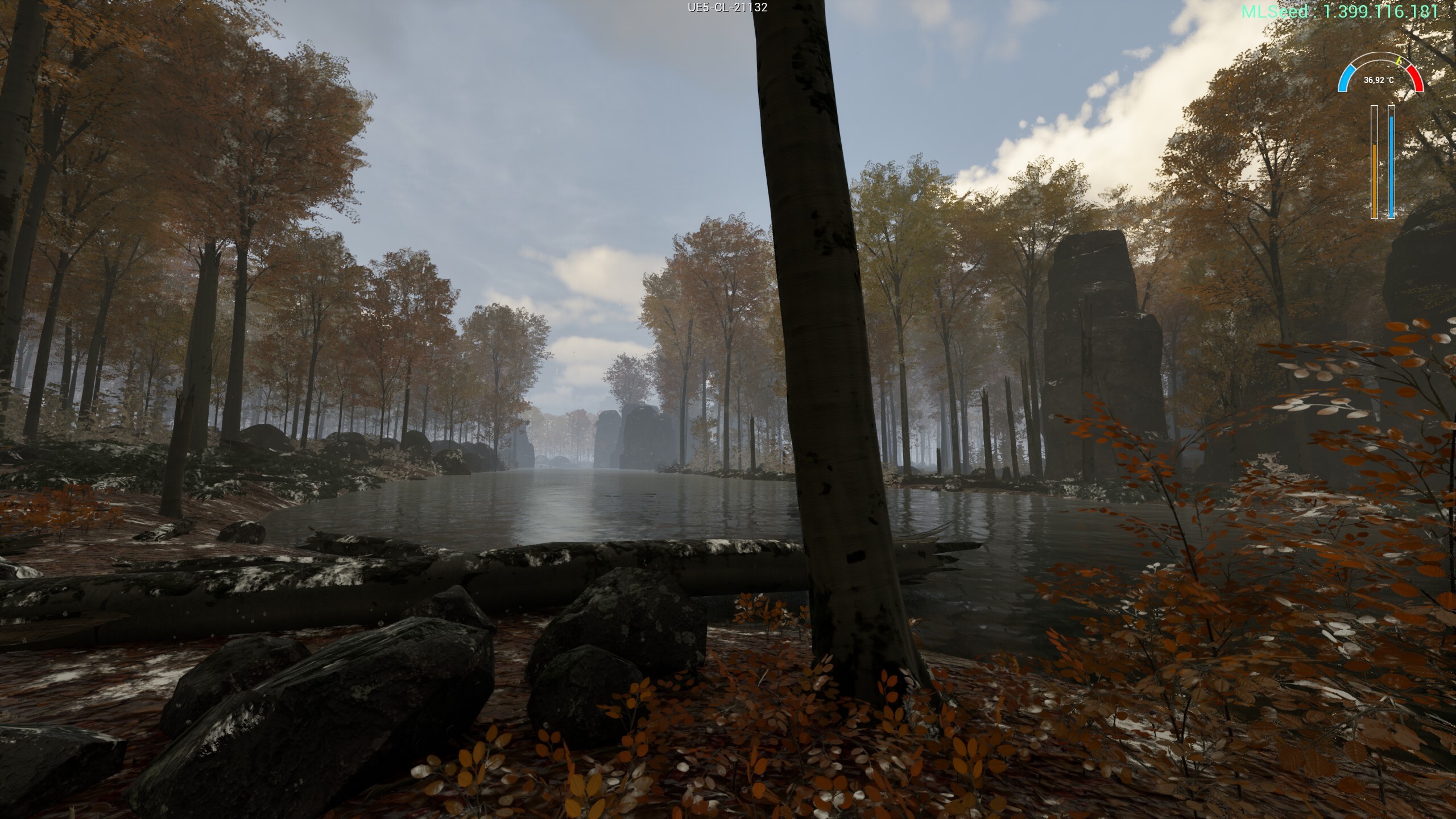
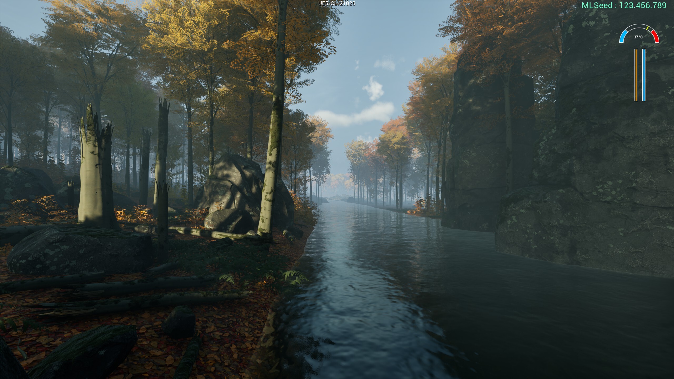
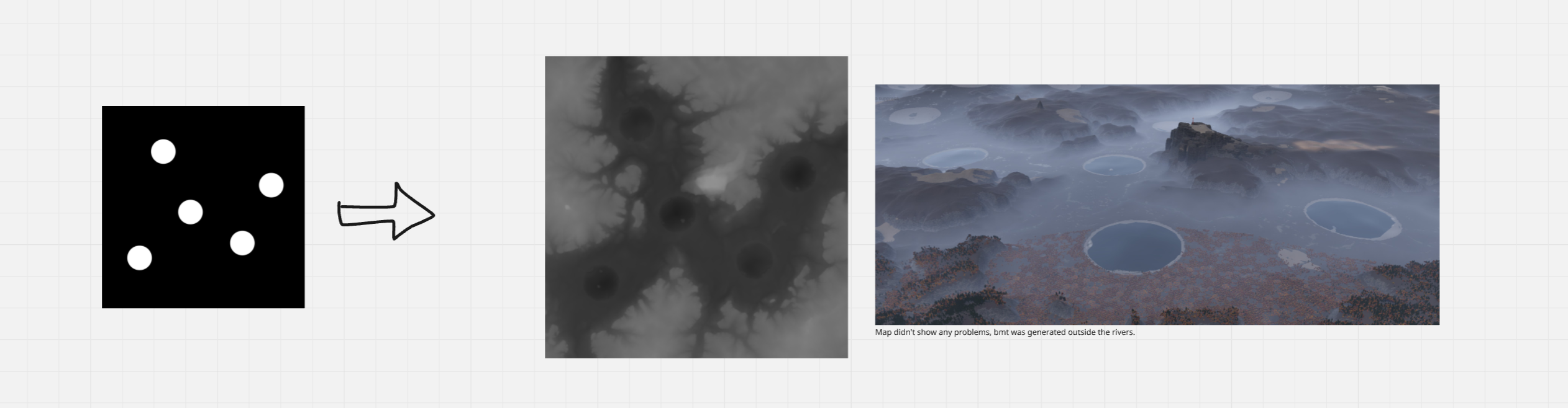
As we covered in a previous blog post, our goal for the machine-learning agent in Go Wayback! was to build a model that could turn input from creative people into scalable, compelling landscapes. To achieve this, we first used drainage networks to identify the most likely river paths on a heightmap. We then fed that data into our ML model which generated the final landscape.

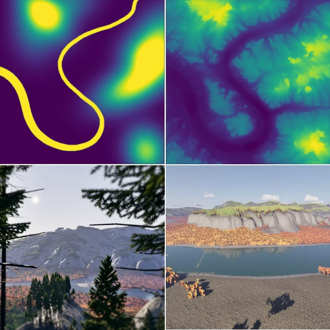
The benefit of using machine learning here was that the agent learned to generate landscapes with the rivers requested, along with realistic drainage networks. What we did not expect was how resilient the model would be when faced with unusual or even unrealistic river or lake configurations, which led us to realise that we could build a map editor that anyone could use.

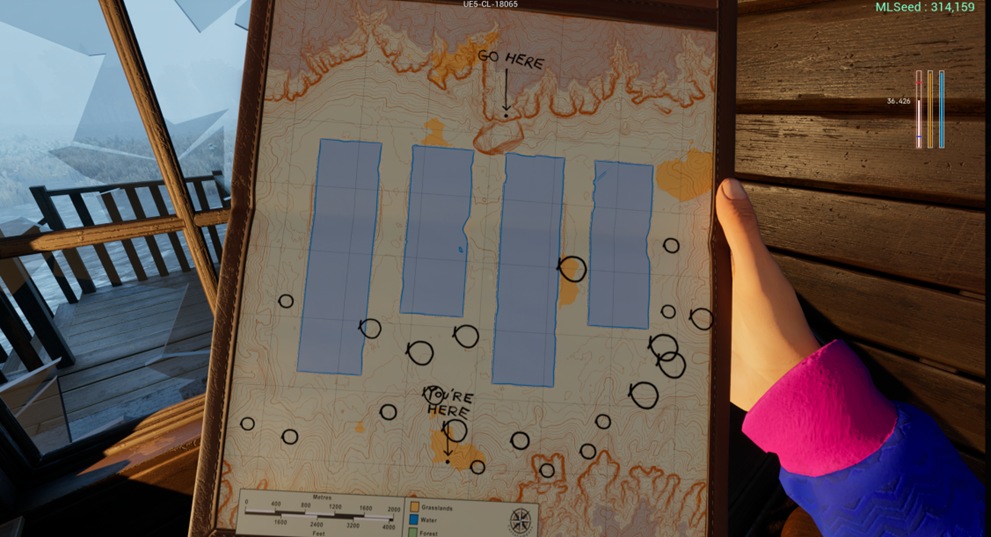
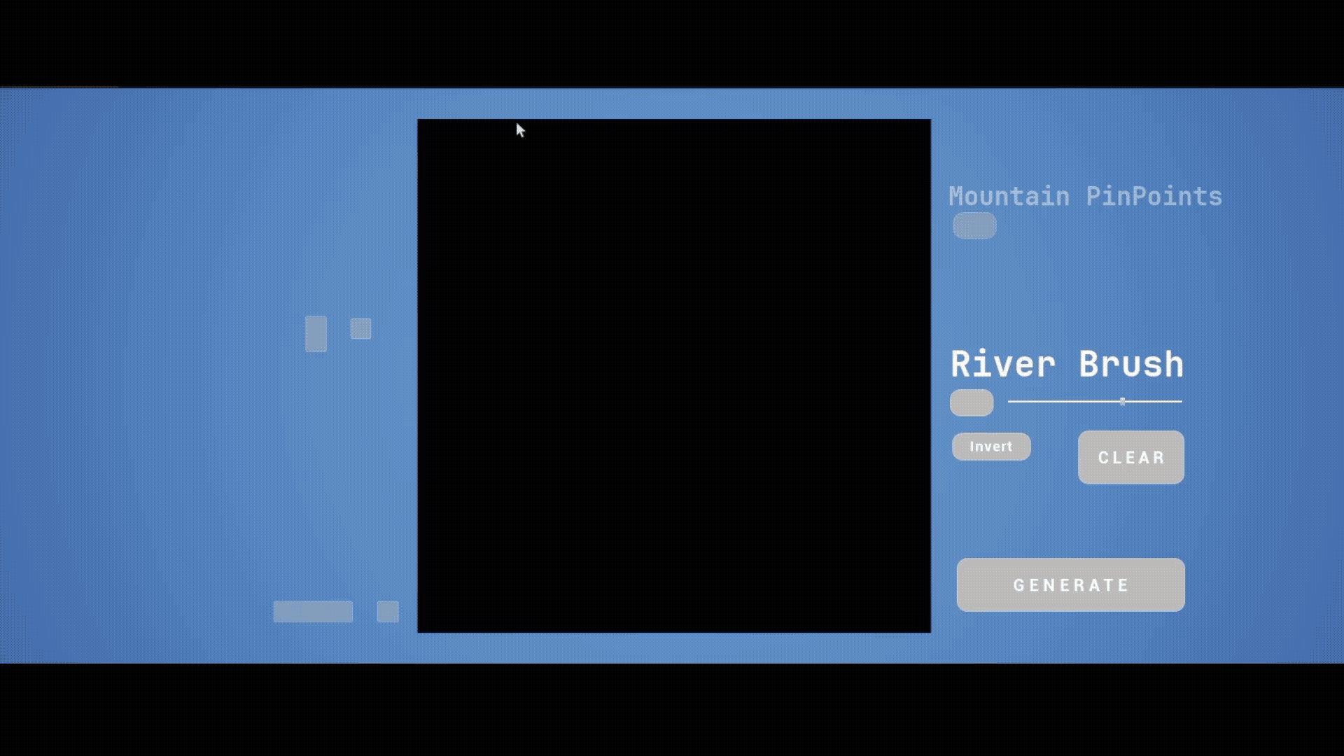
Because the landscape generation was already built around this system, adding the map editor was primarily a matter of swapping out the input image file. We quickly set up the development environment since the majority of systems were already in place, and added drawing tools (like brushes and erasers) as well as a new window to allow the player to create river schematics in a controlled environment, which gave us a reliable framework for testing.
Next Steps
The main thing for us at the moment is to get the look of the map editor to a level that is visually shippable for Early Access. We’re also fixing bugs that popped up based on community feedback and polishing the current tools. After this, we still have ideas on how to expand on the existing toolset, such as adding simulation options to create realistic break away rivers and expanding the brush options.